-
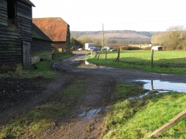
Outbuildings at Upper Diddlesfold Farm
-
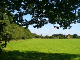
Wateredge Copse
Outbuildings at Upper Diddlesfold Farm
Wateredge Copse
Location and coordinates are for the approximate centre of Fulwick's Copse within this administrative area. Geographic features and populated places may cross administrative borders.