-
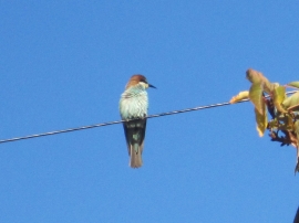
Bee-eater in Seaburn, Sunderland
-
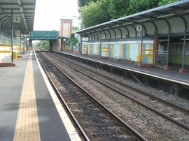
Seaburn Metro station, Tyne & Wear
Bee-eater in Seaburn, Sunderland
Seaburn Metro station, Tyne & Wear
Location and coordinates are for the approximate centre of Fulwell within this administrative area. Geographic features and populated places may cross administrative borders.