-

Flushed out of the Sandhills: Dog and Quayle
-
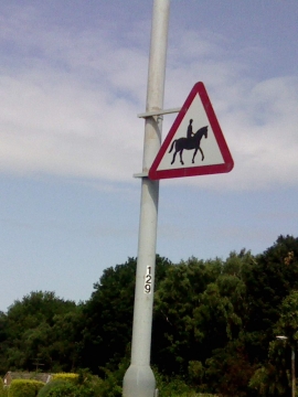
UK Accompanied Horses or Ponies Sign
Flushed out of the Sandhills: Dog and Quayle
UK Accompanied Horses or Ponies Sign
Other current and historical names
Location and coordinates are for the approximate centre of Friezeland within this administrative area. Geographic features and populated places may cross administrative borders.