-
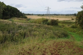
Bridleway below Clevelode Rough
-
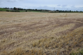
Stubble field below Pixham Farm
Bridleway below Clevelode Rough
Stubble field below Pixham Farm
Location and coordinates are for the approximate centre of Frieze Wood within this administrative area. Geographic features and populated places may cross administrative borders.