-
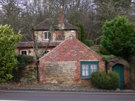
Buildings at Foxhill
-
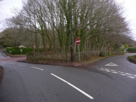
Triangular road island by the A272
Buildings at Foxhill
Triangular road island by the A272
Location and coordinates are for the approximate centre of Foxhill within this administrative area. Geographic features and populated places may cross administrative borders.