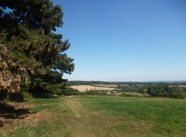
Foxcombe Hill, Oxfordshire

« Gazetteer Entry
Upload Photo

Foxcombe Hill, Oxfordshire

  • Built-Up Area: Boars Hill
  • Parish/Community: Sunningwell
  • District/Borough: Vale of White Horse
  • County: Oxfordshire
  • Region: South East
  • Category: Populated Place
  • Type: Other Settlement
  • Latitude/Longitude: 51°42'36"N 1°17'5"W
  • Eastings/Northings: 449500, 201500
  • OS Grid: SP495015
  • Mapcode Local: GBR 7Y4.RYF
  • Mapcode Global: VHCY0.P81X

Location and coordinates are for the approximate centre of Foxcombe Hill within this administrative area. Geographic features and populated places may cross administrative borders.

BritishPlaceNames.uk is a Good Stuff website.