-
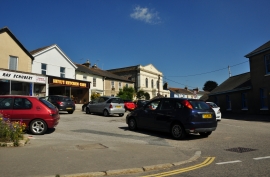
Hayle : Chapel Terrace
-
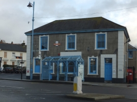
Bus shelter and post office, Foundry Square, Hayle
Hayle : Chapel Terrace
Bus shelter and post office, Foundry Square, Hayle
Other current and historical names
Location and coordinates are for the approximate centre of Foundry within this administrative area. Geographic features and populated places may cross administrative borders.