-
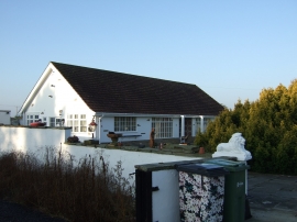
House on Temple Lane
-
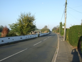
Temple Lane towards Copmanthorpe
House on Temple Lane
Temple Lane towards Copmanthorpe
Location and coordinates are for the approximate centre of Foss Field within this administrative area. Geographic features and populated places may cross administrative borders.