-
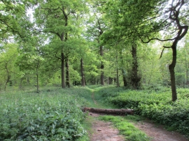
Track through Forest Plantation
-
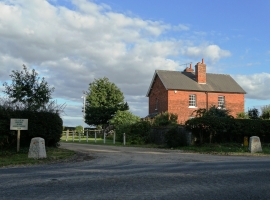
Bumblebee Hall
Track through Forest Plantation
Bumblebee Hall
Location and coordinates are for the approximate centre of Forest Plantation within this administrative area. Geographic features and populated places may cross administrative borders.