-
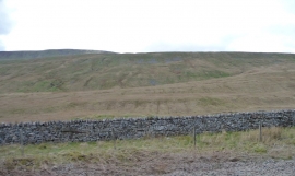
Winterscales Pasture from the east
-

Course of Helm Gill, Winterscales Pasture
Winterscales Pasture from the east
Course of Helm Gill, Winterscales Pasture
Location and coordinates are for the approximate centre of Force Gill within this administrative area. Geographic features and populated places may cross administrative borders.