-
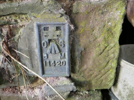
Ordnance Survey Flush Bracket 11420
-
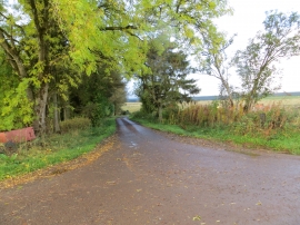
Country lane joining country road at Highend
Ordnance Survey Flush Bracket 11420
Country lane joining country road at Highend
Location and coordinates are for the approximate centre of Folly Plantn within this administrative area. Geographic features and populated places may cross administrative borders.