-

Bungalows near Fleetland Copse
-
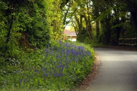
Bluebells by the road
Bungalows near Fleetland Copse
Bluebells by the road
Location and coordinates are for the approximate centre of Fleetlands Copse within this administrative area. Geographic features and populated places may cross administrative borders.