-
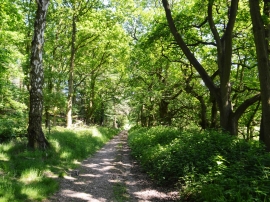
Track to Spring Slade
-
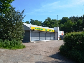
Former Burrows GM Ltd showroom and workshops
Track to Spring Slade
Former Burrows GM Ltd showroom and workshops
Location and coordinates are for the approximate centre of Five Oak Plantation within this administrative area. Geographic features and populated places may cross administrative borders.