-
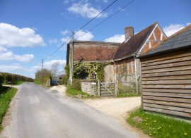
Newton, Mill Farmhouse
-
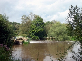
River Stour at Sturminster Mill
Newton, Mill Farmhouse
River Stour at Sturminster Mill
Location and coordinates are for the approximate centre of Fish's Island within this administrative area. Geographic features and populated places may cross administrative borders.