-
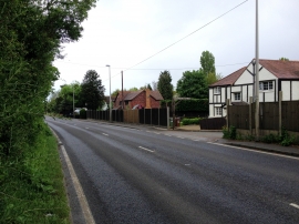
Ratcliffe Highway, Sharnal Street
-
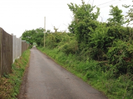
Parbrook Road, near High Halstow
Ratcliffe Highway, Sharnal Street
Parbrook Road, near High Halstow
Location and coordinates are for the approximate centre of Fisher's Wood within this administrative area. Geographic features and populated places may cross administrative borders.