-
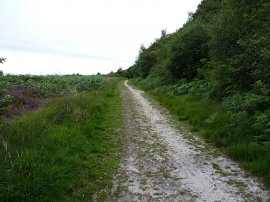
Track along the side of Fire Beacon Plantation
-
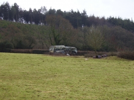
Rusting away
Track along the side of Fire Beacon Plantation
Rusting away
Location and coordinates are for the approximate centre of Fire Beacon Plantation within this administrative area. Geographic features and populated places may cross administrative borders.