-
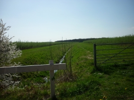
A drain heading towards Fillington Low Wood
-
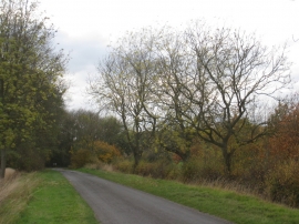
Towards the bend
A drain heading towards Fillington Low Wood
Towards the bend
Location and coordinates are for the approximate centre of Fillingham Low Wood within this administrative area. Geographic features and populated places may cross administrative borders.