-
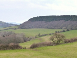
Footpath between Filcombe Wood and Langdon Hill
-
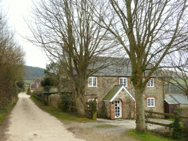
Filcombe Farm National Trust Property
Footpath between Filcombe Wood and Langdon Hill
Filcombe Farm National Trust Property
Location and coordinates are for the approximate centre of Filcombe Wood within this administrative area. Geographic features and populated places may cross administrative borders.