-
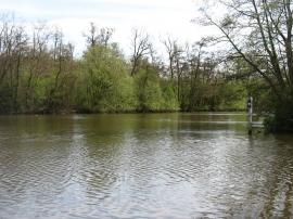
River Thames north of Shiplake
-
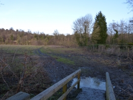
Thames Path
River Thames north of Shiplake
Thames Path
Location and coordinates are for the approximate centre of Ferry Eyot within this administrative area. Geographic features and populated places may cross administrative borders.