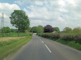
Feltham's Copse, Dorset

« Gazetteer Entry
Upload Photo

Feltham's Copse, Dorset

  • Parish/Community: Alderholt
  • District/Borough: East Dorset
  • County: Dorset
  • Region: South West
  • Category: Landcover
  • Type: Forest or Wood
  • Latitude/Longitude: 50°54'26"N 1°53'1"W
  • Eastings/Northings: 408274, 112003
  • OS Grid: SU082120
  • Mapcode Local: GBR 41X.4KQ
  • Mapcode Global: FRA 66YP.VB4

Location and coordinates are for the approximate centre of Feltham's Copse within this administrative area. Geographic features and populated places may cross administrative borders.

BritishPlaceNames.uk is a Good Stuff website.