-
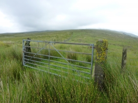
Gate at moorland fence corner
-
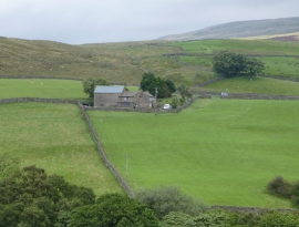
High Fawes
Gate at moorland fence corner
High Fawes
Location and coordinates are for the approximate centre of Faw Moor within this administrative area. Geographic features and populated places may cross administrative borders.