-
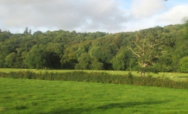
Taw valley near Abbot's Marsh
-
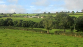
Towards Farr's Farm
Taw valley near Abbot's Marsh
Towards Farr's Farm
Location and coordinates are for the approximate centre of Farr's Wood within this administrative area. Geographic features and populated places may cross administrative borders.