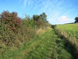
Farnborough Down, Basingstoke and Deane

« Gazetteer Entry
Upload Photo

Farnborough Down, Basingstoke and Deane

  • Parish/Community: Farnborough
  • Unitary Authority: Basingstoke and Deane
  • Region: South East
  • Category: Landcover
  • Type: Other Landcover
  • Latitude/Longitude: 51°32'7"N 1°23'55"W
  • Eastings/Northings: 441796, 181994
  • OS Grid: SU417819
  • Mapcode Local: GBR 804.M63
  • Mapcode Global: VHC18.PNVX

Location and coordinates are for the approximate centre of Farnborough Down within this administrative area. Geographic features and populated places may cross administrative borders.

BritishPlaceNames.uk is a Good Stuff website.