-
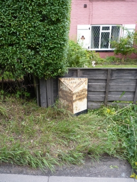
Withington Hall milepost - detail
-
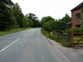
Withington Hall milepost in its setting
Withington Hall milepost - detail
Withington Hall milepost in its setting
Location and coordinates are for the approximate centre of Farmwood Pool within this administrative area. Geographic features and populated places may cross administrative borders.