-
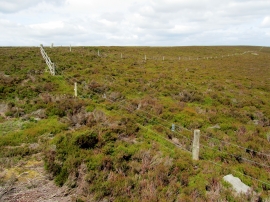
Boundary Fence on East Wharrell
-
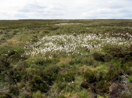
Cotton Grass on Braithwaite Moor
Boundary Fence on East Wharrell
Cotton Grass on Braithwaite Moor
Location and coordinates are for the approximate centre of Farmery Mires within this administrative area. Geographic features and populated places may cross administrative borders.