-
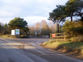
Entrance to Binnegar Quarry from Puddletown Road
-
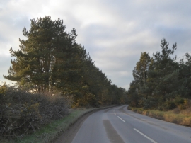
Screening trees by Puddletown Road
Entrance to Binnegar Quarry from Puddletown Road
Screening trees by Puddletown Road
Location and coordinates are for the approximate centre of Farm Coppice within this administrative area. Geographic features and populated places may cross administrative borders.