-
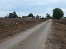
Straight Drove crossing Farcet Fen
-
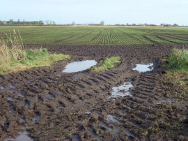
Next years harvest
Straight Drove crossing Farcet Fen
Next years harvest
Location and coordinates are for the approximate centre of Farcet Fen within this administrative area. Geographic features and populated places may cross administrative borders.