-
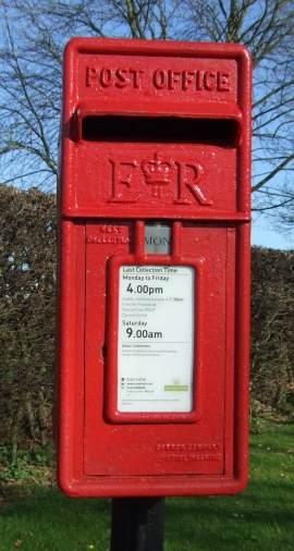
Close up, Elizabeth II postbox on Shaw Lane, Hanch
-
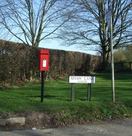
Elizabeth II postbox on Shaw Lane, Hanch
Close up, Elizabeth II postbox on Shaw Lane, Hanch
Elizabeth II postbox on Shaw Lane, Hanch
Location and coordinates are for the approximate centre of Far Hall Spinney within this administrative area. Geographic features and populated places may cross administrative borders.