-
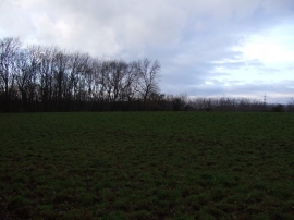
Farmland, Weary Bank
-
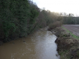
River Leven, Foxton Bridge
Farmland, Weary Bank
River Leven, Foxton Bridge
Location and coordinates are for the approximate centre of Fanny Bell Gill Wood within this administrative area. Geographic features and populated places may cross administrative borders.