-
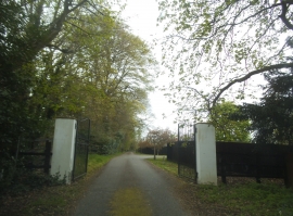
The end of Lambridge Lane, Badgemore
-
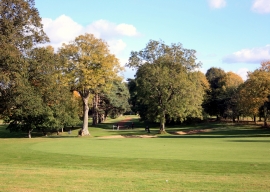
Badgemore Park Golf Course
The end of Lambridge Lane, Badgemore
Badgemore Park Golf Course
Location and coordinates are for the approximate centre of Fairies Hole within this administrative area. Geographic features and populated places may cross administrative borders.