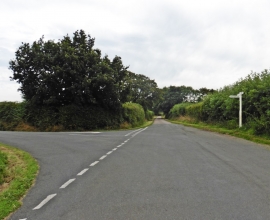
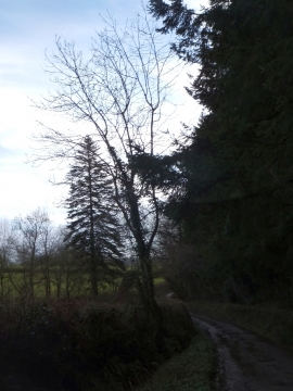
Fair Oak Covert, Devon

« Gazetteer Entry
Upload Photo

Fair Oak Covert, Devon

  • Parish/Community: Upottery
  • District/Borough: East Devon
  • County: Devon
  • Region: South West
  • Category: Landcover
  • Type: Forest or Wood
  • Latitude/Longitude: 50°52'15"N 3°9'24"W
  • Eastings/Northings: 318701, 108567
  • OS Grid: ST187085
  • Mapcode Local: GBR LZ.TD2J
  • Mapcode Global: FRA 468S.XNZ

Location and coordinates are for the approximate centre of Fair Oak Covert within this administrative area. Geographic features and populated places may cross administrative borders.

BritishPlaceNames.uk is a Good Stuff website.