-
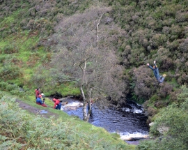
Outdoor pursuits - bombing into Fair Brook
-
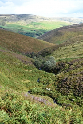
Fair Brook winding down from the Kinder Plateau
Outdoor pursuits - bombing into Fair Brook
Fair Brook winding down from the Kinder Plateau
Location and coordinates are for the approximate centre of Fair Brook within this administrative area. Geographic features and populated places may cross administrative borders.