-
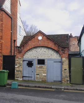
Ewell: the Watch House, Church Street
-

King William IV, Ewell
Ewell: the Watch House, Church Street
King William IV, Ewell
Other current and historical names
Location and coordinates are for the approximate centre of Ewell within this administrative area. Geographic features and populated places may cross administrative borders.