-
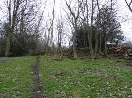
Ruins in Dipton Woods
-
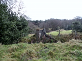
Tree stump
Ruins in Dipton Woods
Tree stump
Location and coordinates are for the approximate centre of Ewehurst Wood within this administrative area. Geographic features and populated places may cross administrative borders.