-
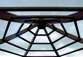
Pergola Top at Burnby Hall
-
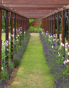
Pergola at Burnby Hall
Pergola Top at Burnby Hall
Pergola at Burnby Hall
Location and coordinates are for the approximate centre of Evergreen Wood within this administrative area. Geographic features and populated places may cross administrative borders.