-
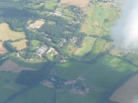
Fareham District : Wickham Scenery
-
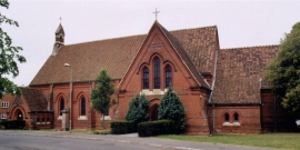
Knowle Village Former Hospital Chapel
Fareham District : Wickham Scenery
Knowle Village Former Hospital Chapel
Location and coordinates are for the approximate centre of Everett's Coppice within this administrative area. Geographic features and populated places may cross administrative borders.