-
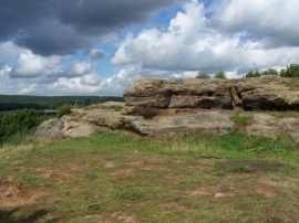
Sandstone Rocks On Etching Hill
-
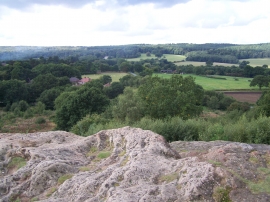
View From Top Of Etching Hill
Sandstone Rocks On Etching Hill
View From Top Of Etching Hill
Location and coordinates are for the approximate centre of Etchinghill within this administrative area. Geographic features and populated places may cross administrative borders.