-
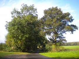
Track towards Oxton from Park Farm
-
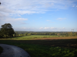
Farmland east of Oxton (1)
Track towards Oxton from Park Farm
Farmland east of Oxton (1)
Location and coordinates are for the approximate centre of Epperstone Park within this administrative area. Geographic features and populated places may cross administrative borders.