-
King of all he surveys, Lewis chessman
-

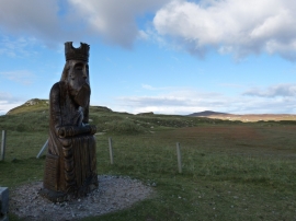
Wooden King, Uig
King of all he surveys, Lewis chessman
Wooden King, Uig
Location and coordinates are for the approximate centre of Eornal within this administrative area. Geographic features and populated places may cross administrative borders.