-
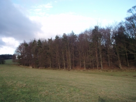
Laurel Walk Plantation
-
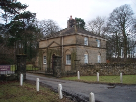
Entrance to Sedbury Park
Laurel Walk Plantation
Entrance to Sedbury Park
Location and coordinates are for the approximate centre of Elliott's Plantation within this administrative area. Geographic features and populated places may cross administrative borders.