-
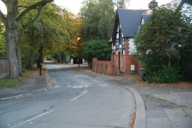
Victoria Road, Eccles
-

Mini-roundabout on the junction of Albert Road with Half Edge Lane
Victoria Road, Eccles
Mini-roundabout on the junction of Albert Road with Half Edge Lane
Other current and historical names
Location and coordinates are for the approximate centre of Ellesmere Park within this administrative area. Geographic features and populated places may cross administrative borders.