-
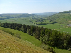
Ellerton Scar view.
-
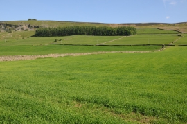
Farmland near Ellerton Abbey
Ellerton Scar view.
Farmland near Ellerton Abbey
Location and coordinates are for the approximate centre of Ellerton Scar Clump within this administrative area. Geographic features and populated places may cross administrative borders.