-
Eller Carr Moss
-
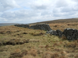
Boundary wall heading north-west to Pile of Stones
Eller Carr Moss
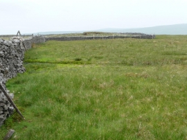
Boundary wall heading north-west to Pile of Stones
Location and coordinates are for the approximate centre of Eller Carr Moss within this administrative area. Geographic features and populated places may cross administrative borders.