-

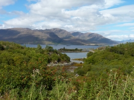
Evening light,- View to Eilean a' Chait from Ardaneaskan
-
Eilean nam Fiadh
Evening light,- View to Eilean a' Chait from Ardaneaskan
Eilean nam Fiadh
Location and coordinates are for the approximate centre of Eilean a' Chait within this administrative area. Geographic features and populated places may cross administrative borders.