-
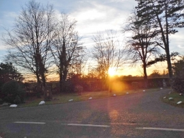
The entrance to Stanhill Court Hotel
-
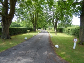
Drive to Stanhill Court Hotel
The entrance to Stanhill Court Hotel
Drive to Stanhill Court Hotel
Location and coordinates are for the approximate centre of Edolphs Copse within this administrative area. Geographic features and populated places may cross administrative borders.