-
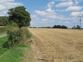
Recently harvested wheat field near Baker's Farm, Wethersfield
-
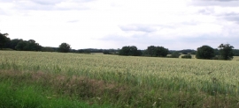
Field of wheat, west of Gosfield
Recently harvested wheat field near Baker's Farm, Wethersfield
Field of wheat, west of Gosfield
Location and coordinates are for the approximate centre of Edmondsey Wood within this administrative area. Geographic features and populated places may cross administrative borders.