-
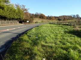
The A44 east of Eaton Bridge
-
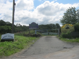
Entrance to West Eaton Nurseries
The A44 east of Eaton Bridge
Entrance to West Eaton Nurseries
Location and coordinates are for the approximate centre of Eaton within this administrative area. Geographic features and populated places may cross administrative borders.