-
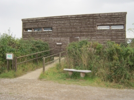
West Hide at RSPB Minsmere
-
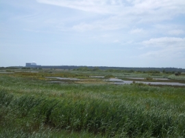
The Scrapes at Minsmere
West Hide at RSPB Minsmere
The Scrapes at Minsmere
Location and coordinates are for the approximate centre of East Waltons within this administrative area. Geographic features and populated places may cross administrative borders.