-
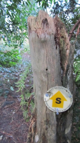
Really easy footpath to miss
-
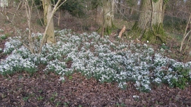
Snowdrops Hap Catch Copse
Really easy footpath to miss
Snowdrops Hap Catch Copse
Other current and historical names
Location and coordinates are for the approximate centre of East Tytherley within this administrative area. Geographic features and populated places may cross administrative borders.