-
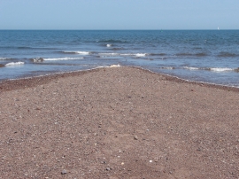
The end of the spit
-
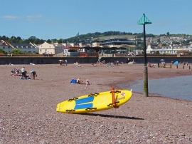
Lifeguard board
The end of the spit
Lifeguard board
Location and coordinates are for the approximate centre of East Pole Sand within this administrative area. Geographic features and populated places may cross administrative borders.